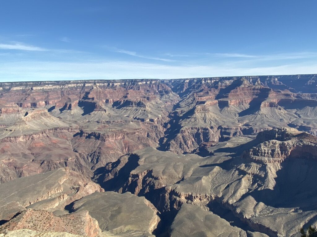
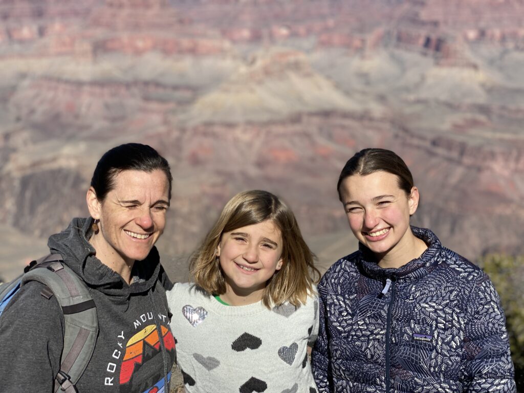
Grand Canyon National Park. What can you say…they don’t call the the “Grand Canyon” for no reason….
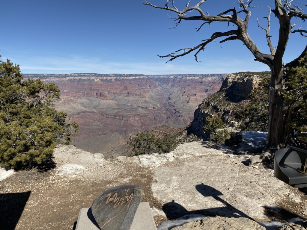
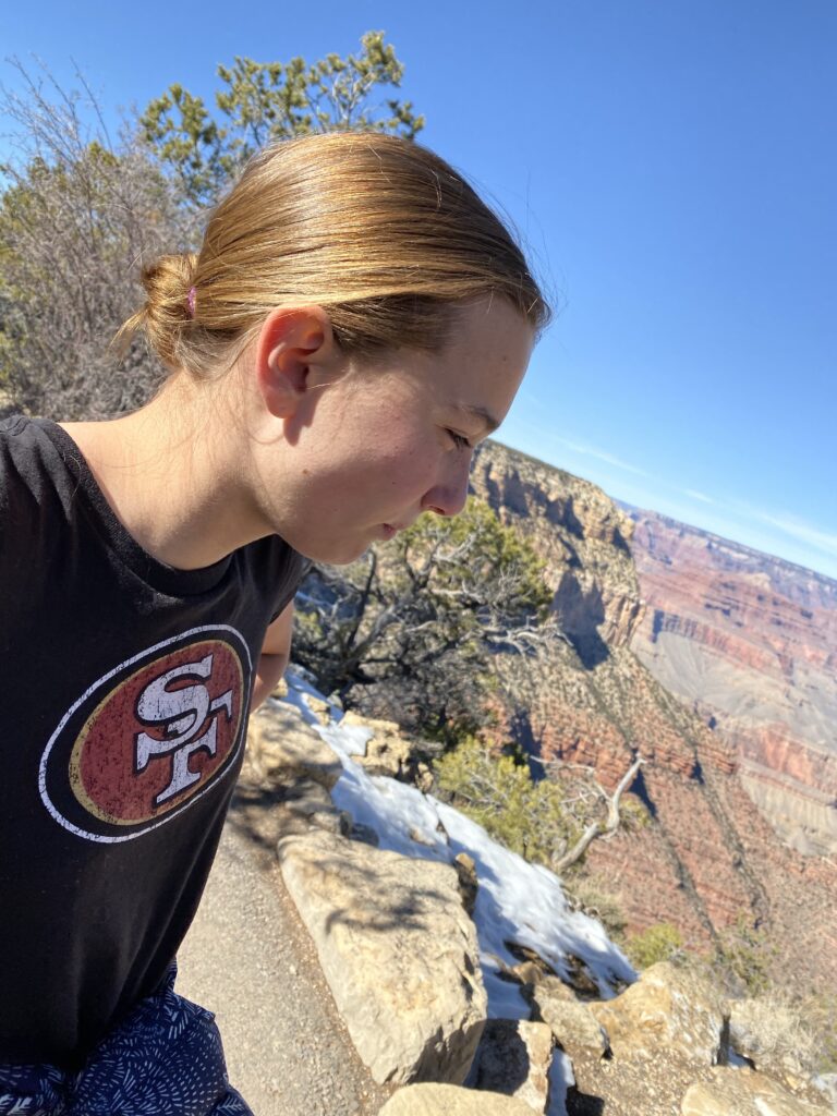
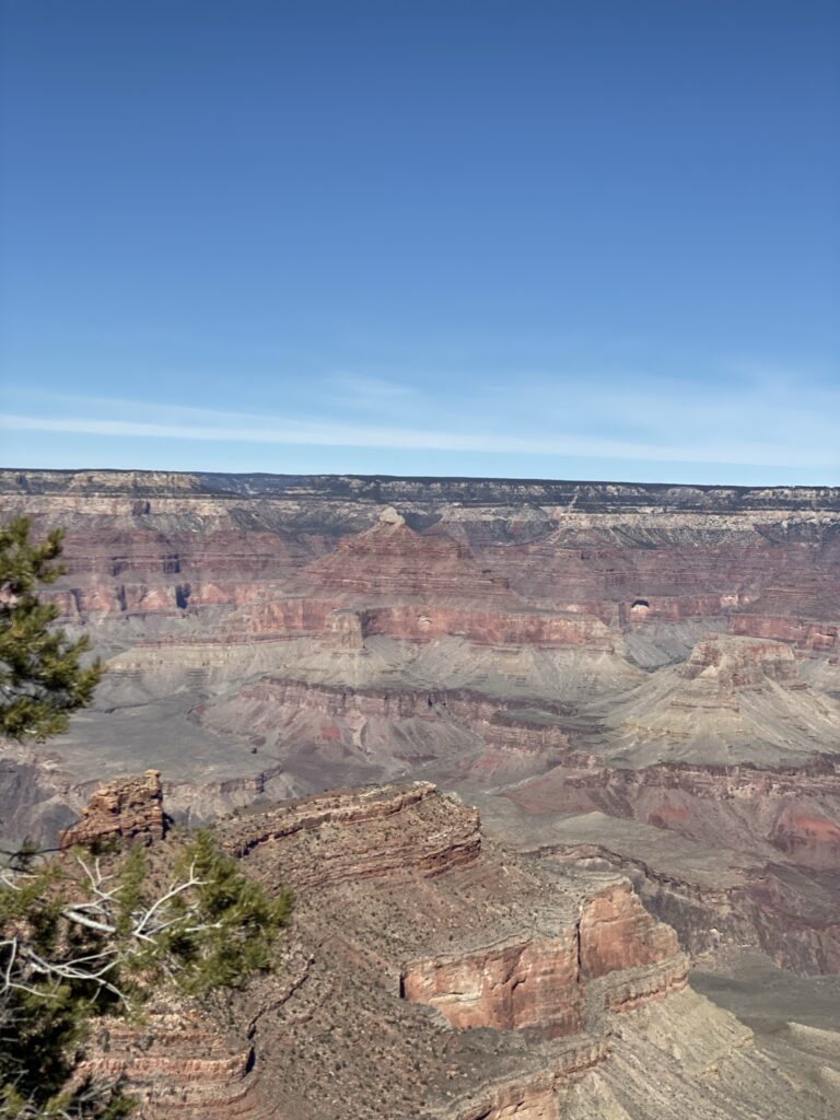
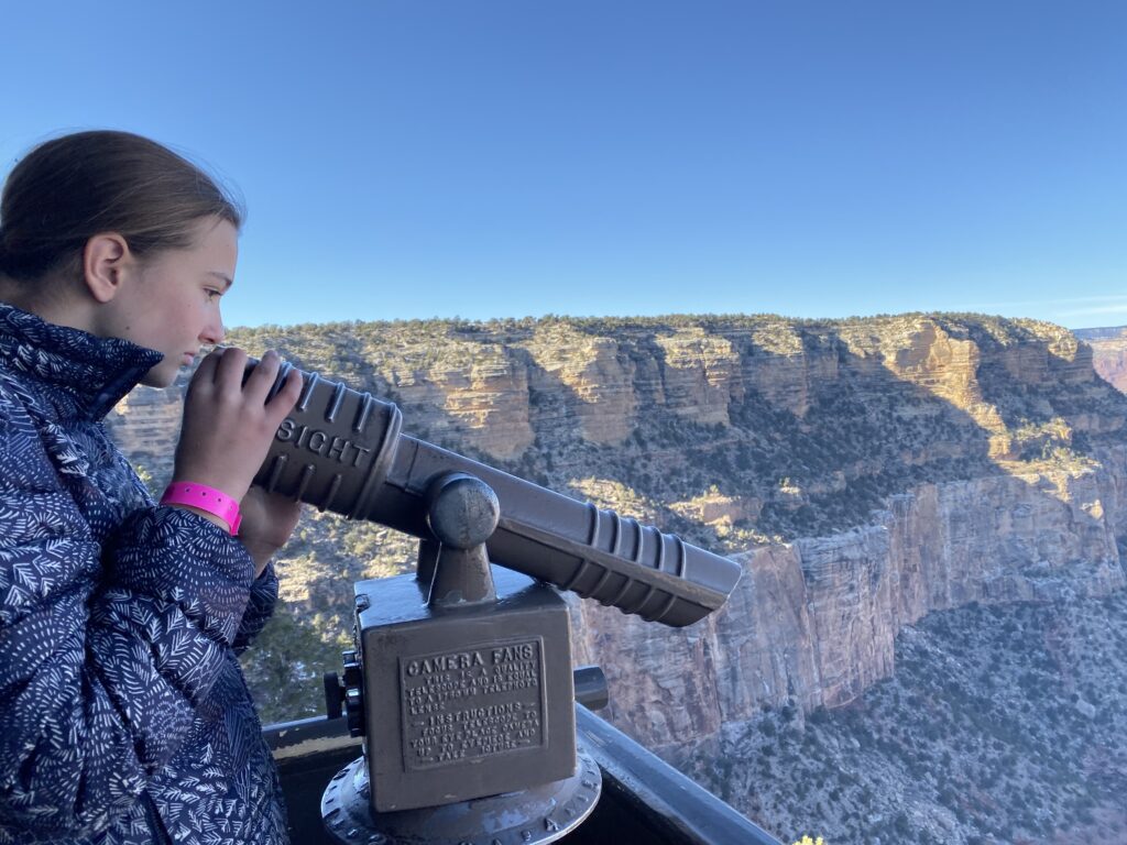
There are bigger, longer, or deeper canyons, but none are quite so accessible or GRAND the Grand Canyon. It’s pretty remarkable. Pictures don’t do it justice but of course we took many anyway.

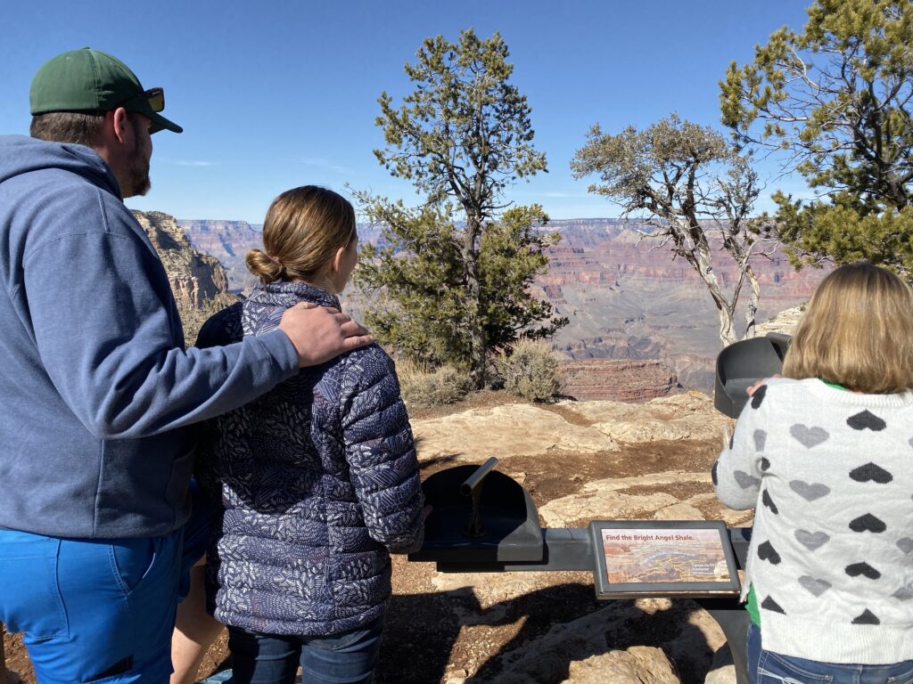
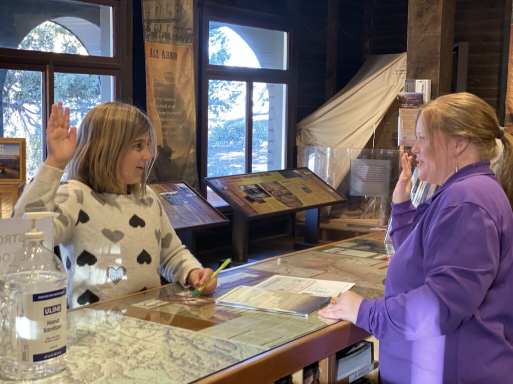
We went to the geology talk at the Yavapai Geological Museum which was an amazing building built right along the edge of the canyon. Great windows, great views. And great volunteers (Vera)
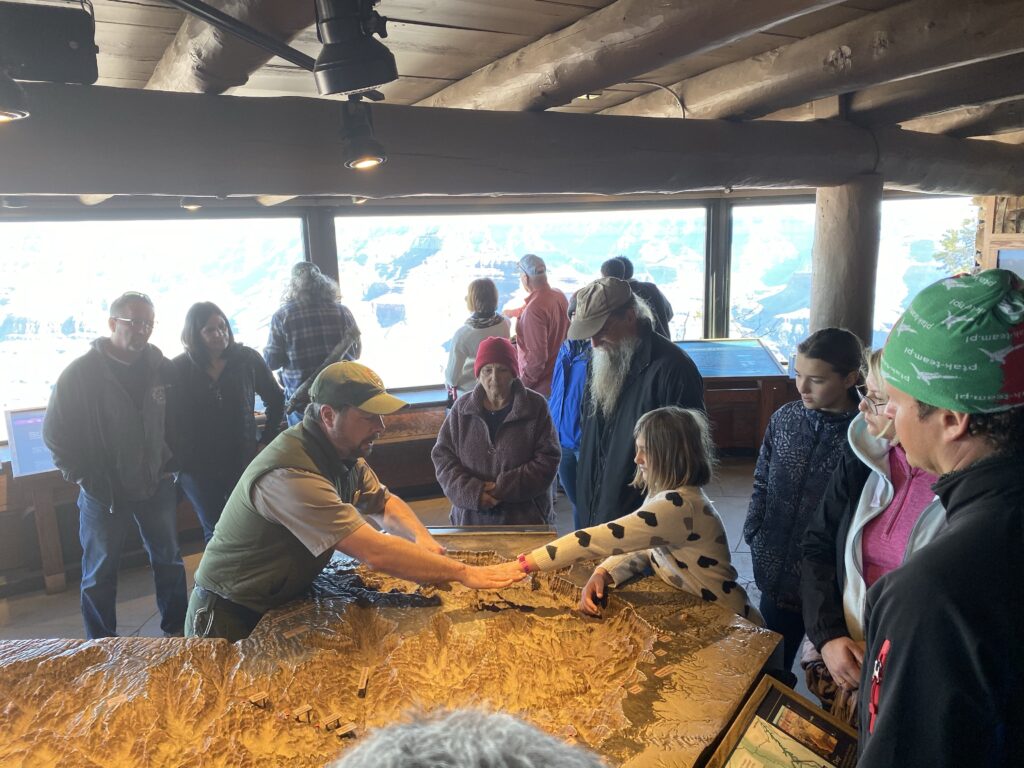
This ranger had a great talk, albeit he spoke about 120 mph to fit everything into a 30 geologic history. So many people visit the Grand Canyon from around the world (6.38 million annually and 40% are international). Here is some info about the Grand Canyon…
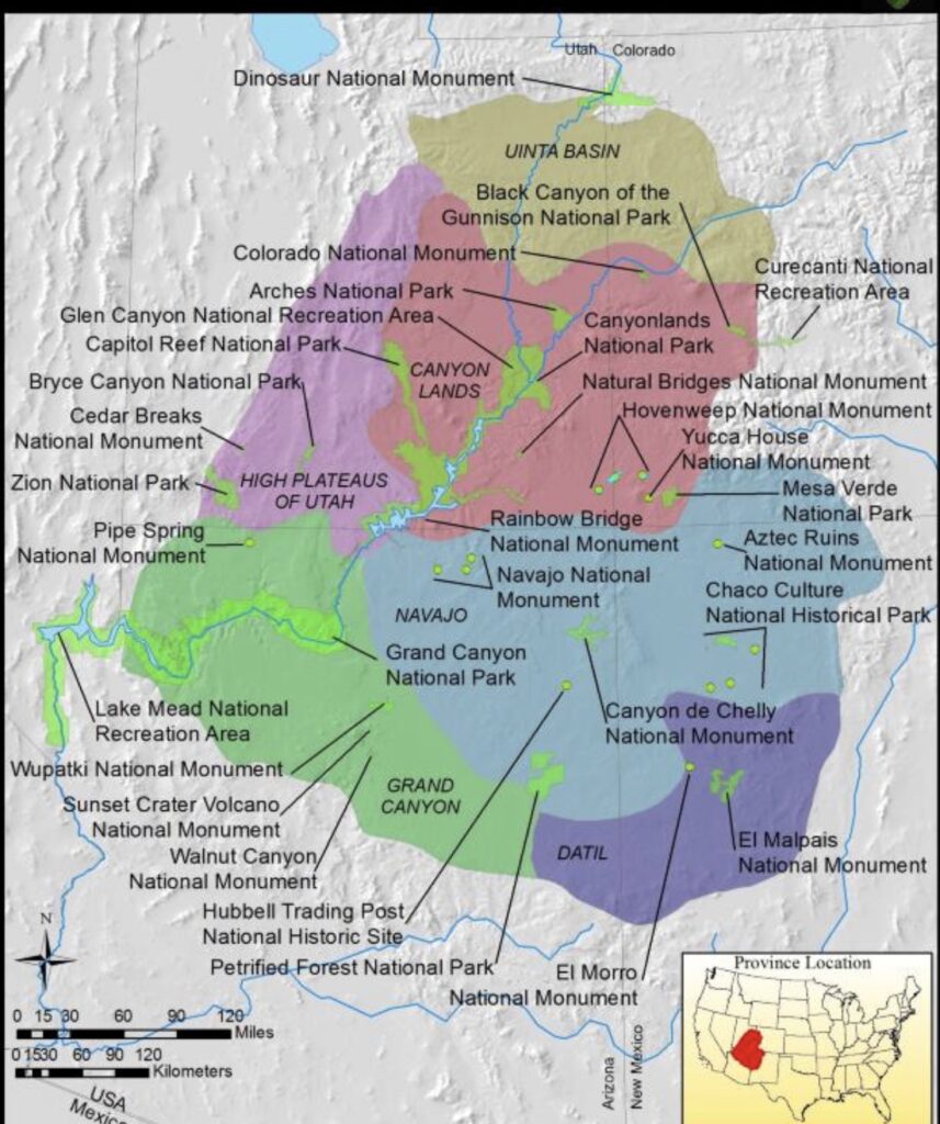
The Grand Canyon is part of the Colorado plateau. I’m finally getting a better understanding of the Colorado plateau uplift. It always takes a few iterations of learning to really understand something. We started learning about the Colorado plateau when we went to Colorado National Monument before Thanksgiving. All of the national parks in southern Utah are also a part of the Colorado Plateau.

Many geologic/geographic beauties are because of this Colorado Plateau uplift. Now I understand how it happened…hopefully enough to explain it. The Pacific “oceanic” Plate is continually subducting under the North American “continental” Plate. In this case the Colorado Plateau was formed approx 75 mya as the Pacific Plate subducted under the North American plate…but as it did this it “pushed” the Farallon Plate (an ancient oceanic plate) and this Farallon Plate “pushes up” the Colorado Plateau up about 5,000-7,000ft up almost uniformly (imagine if Vera’s band in the above picture us the Farallon plate and pushed up the continent as the size of the entire “fault block”. Hence the uniformity of the uplift.
The Grand Canyon is over a mile tall/deep, 277 miles long, and 10 miles wide/across on average between the North and South Rim. It begins at Lee’s Ferry and end at the Grand Wash Cliffs. The entire Grand Canyon was formed from river erosion by the Colorado River. The Grand Canyon is currently growing deeper at the rate of a piece of paper each year. It gets wider by 6” every year. It grows in width over depth because of the rocks. The bottom rock layers are metamorphic rock which is very hard and super dense rock.
Metamorphic Rock ~ it goes through a metamorphosis (change in the rock composition) Metamorphic rock is rock made under intense pressure, time, and heat. So sedimentary or igneous rock over millions of years, with enough pressure and heat, will “metamorphose” into metamorphic rock.
Sedimentary Rock ~ layers or accumulation of sediments
Igneous Rock ~ volcanic rock
So the Grand Canyon grows wider each year over growing deeper because the Colorado River is now attempting to erode the super dense metamorphic rock. The canyon gets wider by 6” a year, (eroding the “soft” sedimentary rock) but it is not even between the North and South Rim. The North Rim is about 1,000’ taller above sea level than the South Rim. Because if this height difference on the North side the water flows into the canyon eroding the North Rim by 4” a year. The water on the South Rim flows away from the canyon so the South Rim erodes at a rate of 2” a year. Frost action is also a major reason for the widening of the canyon.
Another cool thing we learned is until recently scientists were unable to date metamorphic rock. They now are able to “pulverize” the dense rock and “see” the “source rock” that made up the metamorphic rock. This same “rock sources“ have been found on the Eastern coast of Australia and northern coast of Antarctica showing evidence of “Pangea”. Pangea ~ a supercontinent.
So how did one measly river erode all of this material to create the Grand Canyon you ask? Especially since the Colorado is not nearly as big as the Mississippi. The Colorado River has a 17,000 cff (cubic feet per second). The Mississippi River rushes past at over 500,000 cff. so what gives? No Grand Canyon by the Mississippi?? Well it all has to do with change in elevation. The Mississippi River only drops 810 feet over the 2,350 miles the river travels. In contrast, the Colorado River, over the span of the 277 miles of the Grand Canyon, it drops 1,900 feet in elevation. So there you have it. Even though the Colorado River is significantly smaller than the Mississippi has much more eroding power.
Here’s a random fun fact. Again the Mississippi river is much larger volume flow than the Colorado; 590,000cff vs 17,000cff The Amazon has an amazing rate of 7,380,000cff. That’s over 7 million cff vs 1/2 million cff vs 1/50 million cff.

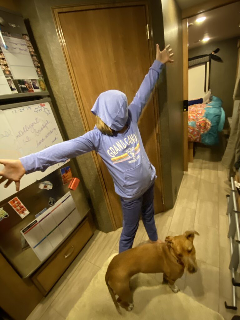
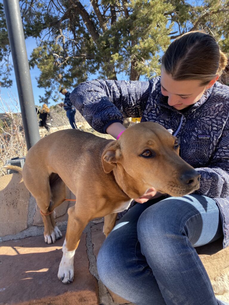
From the museum we walked the Rim Trail over to the village. Fun for Daisy…dogs are allowed everywhere around the Grand Canyon except down the canyon itself. We decided against walking down the canyon trail to return one day and do the rim to rim trail one day.


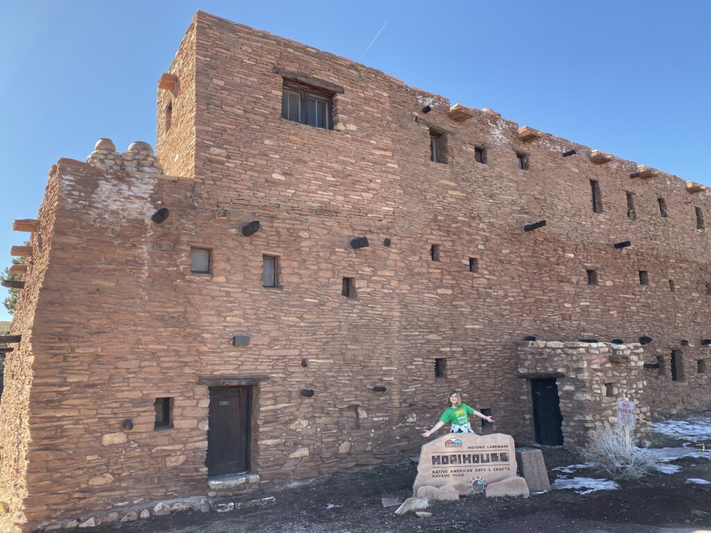
Mary Colter, one of the few female architects of her time, designed many of the buildings at the Grand Canyon, including the Hopi House, Lookout Studio, Hermit’s Rest, Bright Angel Lodge, and the Desert View Watchtower

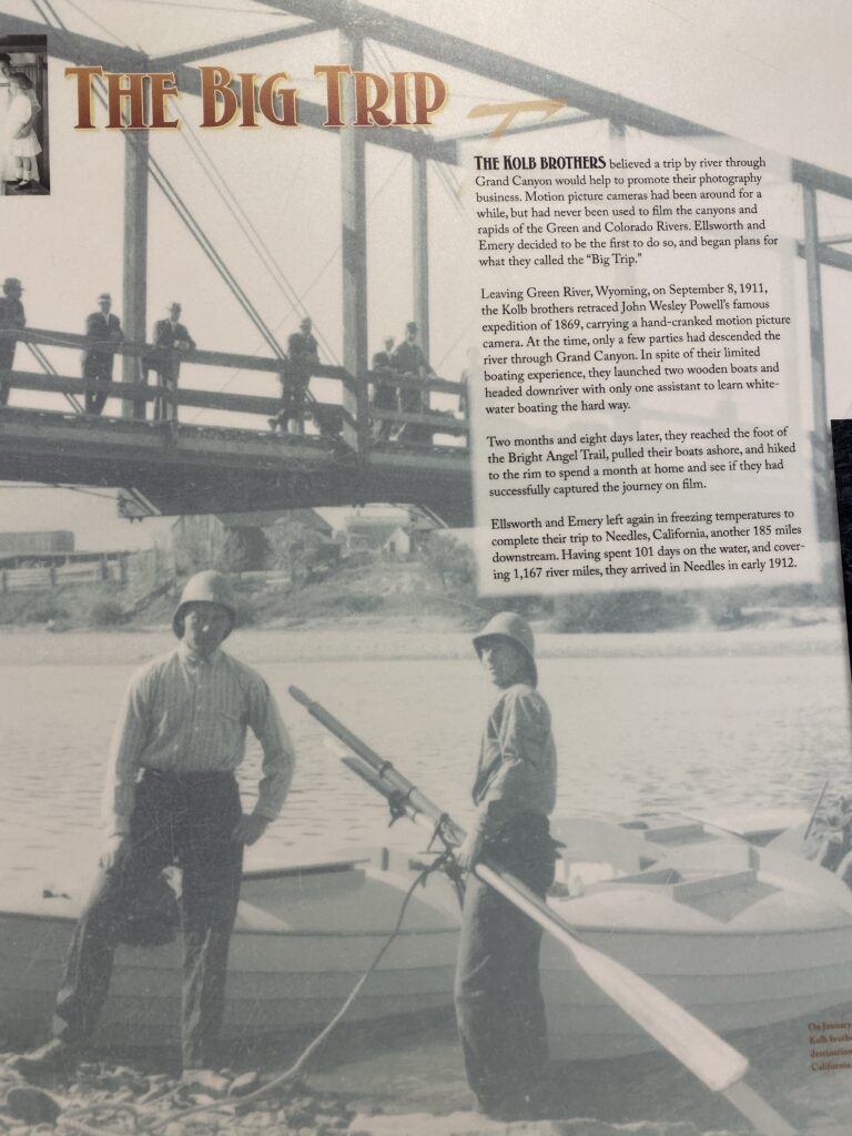
The Kolb brothers


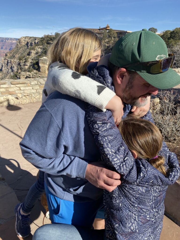
There’s now a 4th member to the Blue Man Group.